TYPE:
SENSOR
LAYER:
DS_PHR1A_202206301032496_FR1_PX_E007N48_1015_01765
FORMAT:
DIMAP
RASTER:
image/jp2
General Information
Map Name
Geometric Processing Level
Radiometric Processing Level
BASIC
Image dimensions
Number of columns
39571
Number of rows
39280
Number of spectral bands
1
Dataset framing
Vertice
Longitude (DEG)
Latitude (DEG)
Row
Col
#1
7.629585891269999
48.71058593083257
#2
7.906216594308851
48.70769736650984
#3
7.905571364564715
48.52409567401248
#4
7.630262616410441
48.52677676438532
Dataset sources
PHR
Coordinate Reference System
Projected Coordinate System
Geocoding tables identification
EPSG(6.3)
Production
Production Date
2022-06-30T23:25:48.116
Job identification
6411633101-1
Dataset Producer Identification
AIRBUS DS GEO
Producer link
http://www.geo-airbusds.com
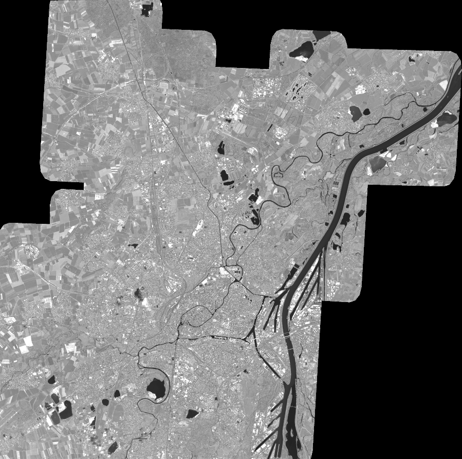
Quicklook
Copyright