TYPE:
SENSOR
LAYER:
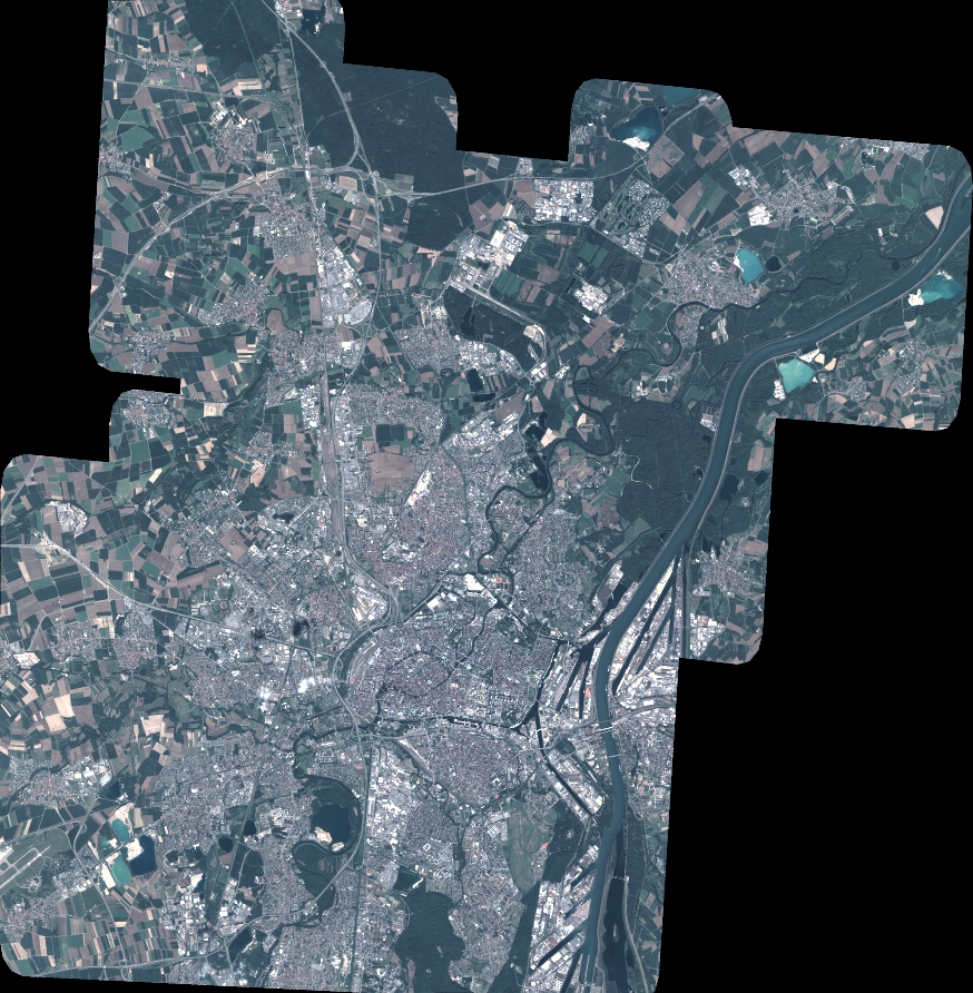
DS_PHR1A_202206301032048_FR1_PX_E007N48_1015_01765
FORMAT:
DIMAP
RASTER:
image/jp2
General Information
Map Name
Geometric Processing Level
Radiometric Processing Level
BASIC
Image dimensions
Number of columns
9620
Number of rows
9821
Number of spectral bands
4
Dataset framing
Vertice
Longitude (DEG)
Latitude (DEG)
Row
Col
#1
7.628222045898215
48.7073356058665
1
#2
7.906352639472717
48.71494983545672
#3
7.90570060065608
48.52736205275943
#4
7.629006331698375
48.51866010362577
Dataset sources
PHR
Coordinate Reference System
Projected Coordinate System
Geocoding tables identification
EPSG(6.3)
Production
Production Date
2022-06-30T23:24:54.816
Job identification
6411632101-2
Dataset Producer Identification
AIRBUS DS GEO
Producer link
http://www.geo-airbusds.com
Quicklook
Copyright