TYPE:
SENSOR
LAYER:
DS_PHR1B_202206291041271_FR1_PX_E003N43_1013_01110
FORMAT:
DIMAP
RASTER:
image/jp2
General Information
Map Name
Geometric Processing Level
Radiometric Processing Level
BASIC
Image dimensions
Number of columns
30819
Number of rows
24424
Number of spectral bands
1
Dataset framing
Vertice
Longitude (DEG)
Latitude (DEG)
Row
Col
#1
3.700620027852817
43.5817207892287
#2
3.900773175548691
43.57761989952986
#3
3.900517764938549
43.45928151846179
#4
3.700956772861026
43.46322086052678
Dataset sources
PHR
Coordinate Reference System
Projected Coordinate System
Geocoding tables identification
EPSG(6.3)
Production
Production Date
2022-06-30T12:21:45.602
Job identification
6411253101-1
Dataset Producer Identification
AIRBUS DS GEO
Producer link
http://www.geo-airbusds.com
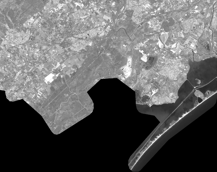
Quicklook
Copyright