TYPE:
SENSOR
LAYER:
DS_PHR1B_202206291041271_FR1_PX_E003N43_1013_01110
FORMAT:
DIMAP
RASTER:
image/jp2
General Information
Map Name
Geometric Processing Level
Radiometric Processing Level
BASIC
Image dimensions
Number of columns
7705
Number of rows
6106
Number of spectral bands
4
Dataset framing
Vertice
Longitude (DEG)
Latitude (DEG)
Row
Col
#1
3.700630081950565
43.58171380373195
1
#2
3.900770370825737
43.57761291550343
#3
3.90051525529005
43.4592889270839
#4
3.700967230850937
43.46322790764997
Dataset sources
PHR
Coordinate Reference System
Projected Coordinate System
Geocoding tables identification
EPSG(6.3)
Production
Production Date
2022-06-30T12:21:32.503
Job identification
6411253101-2
Dataset Producer Identification
AIRBUS DS GEO
Producer link
http://www.geo-airbusds.com
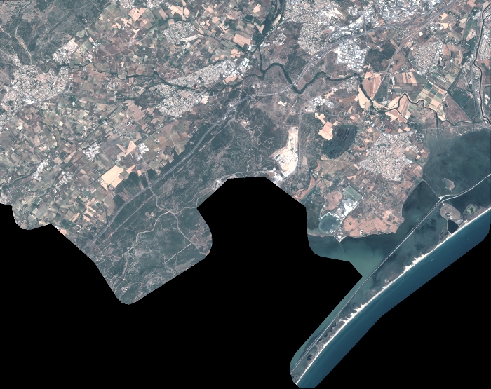
Quicklook
Copyright