TYPE:
SENSOR
LAYER:
DS_PHR1B_202206291041164_FR1_PX_E003N43_1015_02673
FORMAT:
DIMAP
RASTER:
image/jp2
General Information
Map Name
Geometric Processing Level
Radiometric Processing Level
BASIC
Image dimensions
Number of columns
39089
Number of rows
59608
Number of spectral bands
1
Dataset framing
Vertice
Longitude (DEG)
Latitude (DEG)
Row
Col
#1
3.65038752163994
43.74277341162438
#2
3.90165101706129
43.73785376503787
#3
3.900527950948698
43.45967498732271
#4
3.650749742044229
43.46396991447345
Dataset sources
PHR
Coordinate Reference System
Projected Coordinate System
Geocoding tables identification
EPSG(6.3)
Production
Production Date
2022-06-30T12:27:08.477
Job identification
6411252101-1
Dataset Producer Identification
AIRBUS DS GEO
Producer link
http://www.geo-airbusds.com
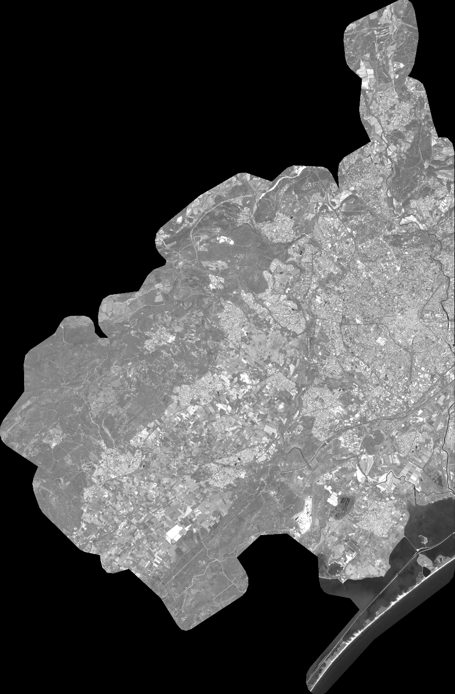
Quicklook
Copyright