TYPE:
SENSOR
LAYER:
DS_PHR1B_202206291041164_FR1_PX_E003N43_1015_02673
FORMAT:
DIMAP
RASTER:
image/jp2
General Information
Map Name
Geometric Processing Level
Radiometric Processing Level
BASIC
Image dimensions
Number of columns
9773
Number of rows
14902
Number of spectral bands
4
Dataset framing
Vertice
Longitude (DEG)
Latitude (DEG)
Row
Col
#1
3.650403411508768
43.74276643768282
1
#2
3.901666976848996
43.7378469886149
#3
3.900544098281038
43.45968229333951
#4
3.650765973871684
43.46397684807901
Dataset sources
PHR
Coordinate Reference System
Projected Coordinate System
Geocoding tables identification
EPSG(6.3)
Production
Production Date
2022-06-30T12:26:45.221
Job identification
6411252101-2
Dataset Producer Identification
AIRBUS DS GEO
Producer link
http://www.geo-airbusds.com
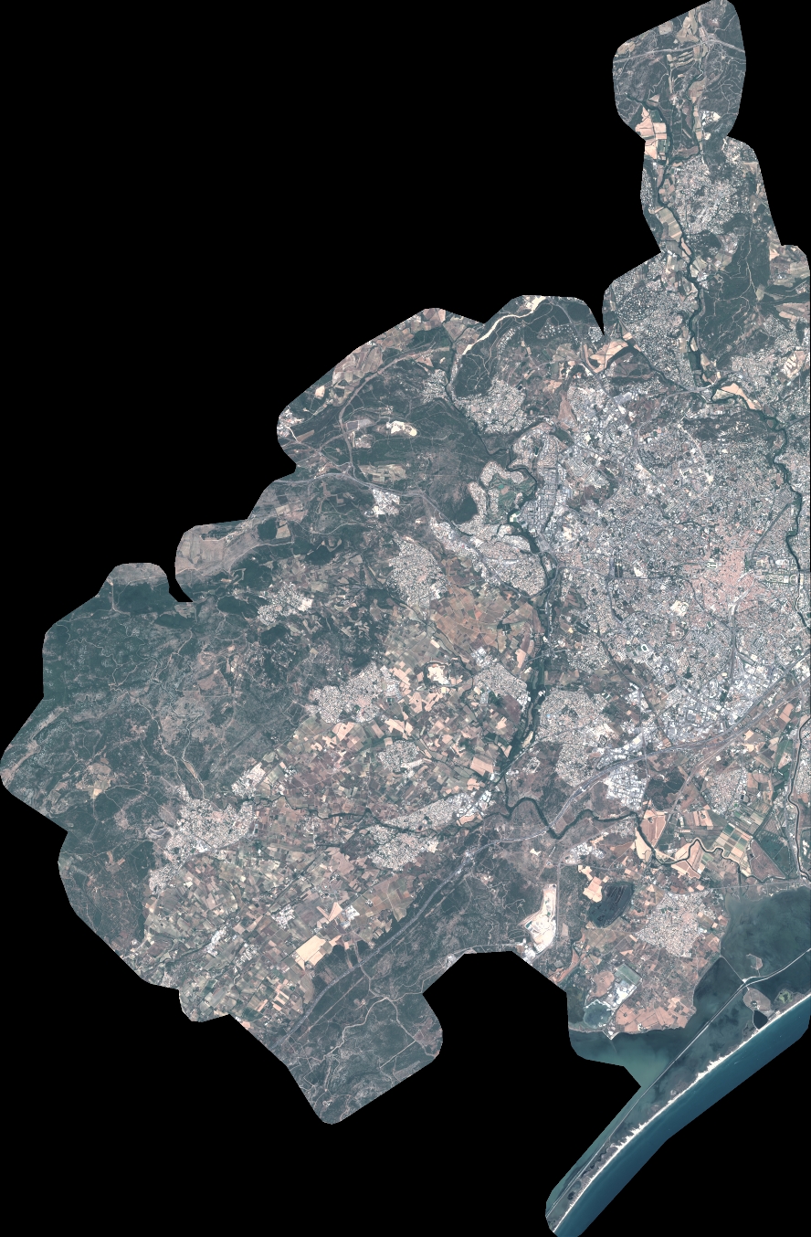
Quicklook
Copyright