TYPE:
SENSOR
LAYER:
DS_PHR1A_202206291304026_FR1_PX_W022N64_0909_01324
FORMAT:
DIMAP
RASTER:
image/tiff
General Information
Map Name
Geometric Processing Level
Radiometric Processing Level
BASIC
Image dimensions
Number of columns
39807
Number of rows
29302
Number of spectral bands
3
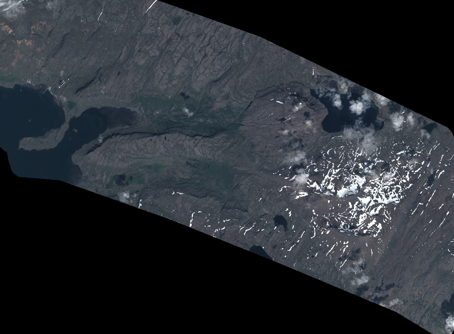
Dataset framing
Vertice
Longitude (DEG)
Latitude (DEG)
Row
Col
#1
-21.48580161130229
64.43017902398323
1
#2
-21.06431651936665
64.4314513415401
#3
-21.0650830865021
64.29720404386062
#4
-21.4846545375399
64.29638204167514
Dataset sources
PHR
Coordinate Reference System
Projected Coordinate System
Geocoding tables identification
EPSG(6.3)
Production
Production Date
2022-06-30T02:31:17.728
Job identification
6409113101
Dataset Producer Identification
AIRBUS DS GEO
Producer link
http://www.geo-airbusds.com
Quicklook
Copyright