TYPE:
SENSOR
LAYER:
DS_PHR1A_202206291303391_FR1_PX_W022N64_0909_01339
FORMAT:
DIMAP
RASTER:
image/tiff
General Information
Map Name
Geometric Processing Level
Radiometric Processing Level
BASIC
Image dimensions
Number of columns
39804
Number of rows
29638
Number of spectral bands
3
Dataset framing
Vertice
Longitude (DEG)
Latitude (DEG)
Row
Col
#1
-21.4839039090419
64.43091059959313
1
#2
-21.06605082749389
64.43131576896099
#3
-21.06730644816835
64.29807448037255
#4
-21.48323614394633
64.29736104131332
Dataset sources
PHR
Coordinate Reference System
Projected Coordinate System
Geocoding tables identification
EPSG(6.3)
Production
Production Date
2022-06-30T02:30:41.335
Job identification
6409112101
Dataset Producer Identification
AIRBUS DS GEO
Producer link
http://www.geo-airbusds.com
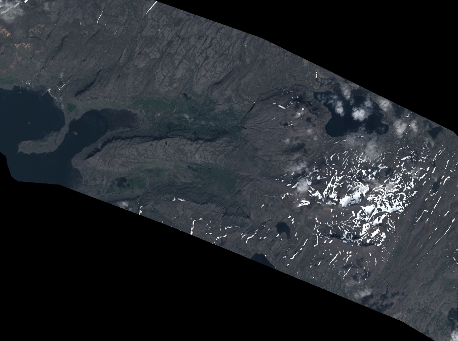
Quicklook
Copyright