TYPE:
SENSOR
LAYER:
DS_PHR1B_202206291041271_FR1_PX_E003N43_1012_01792
FORMAT:
DIMAP
RASTER:
image/jp2
General Information
Map Name
Geometric Processing Level
Radiometric Processing Level
BASIC
Image dimensions
Number of columns
9643
Number of rows
9944
Number of spectral bands
4
Dataset framing
Vertice
Longitude (DEG)
Latitude (DEG)
Row
Col
#1
3.707631274397543
43.58157126843651
1
#2
3.957947496775979
43.57634465756168
#3
3.957280681895472
43.38380104603281
#4
3.708151978403029
43.38871563036968
Dataset sources
PHR
Coordinate Reference System
Projected Coordinate System
Geocoding tables identification
EPSG(6.3)
Production
Production Date
2022-06-29T23:34:04.658
Job identification
6409023101-2
Dataset Producer Identification
AIRBUS DS GEO
Producer link
http://www.geo-airbusds.com
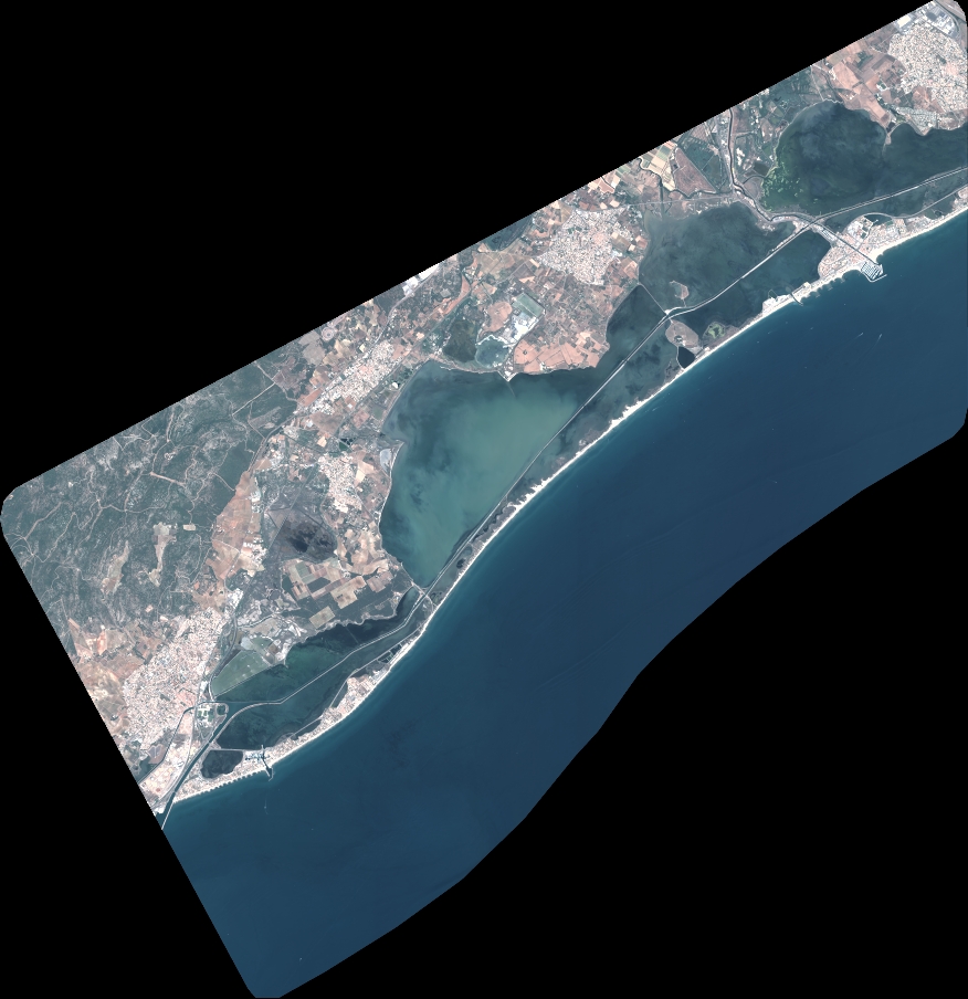
Quicklook
Copyright