TYPE:
SENSOR
LAYER:
DS_PHR1B_202206291040423_FR1_PX_E006N44_1207_01782
FORMAT:
DIMAP
RASTER:
image/tiff
General Information
Map Name
Geometric Processing Level
Radiometric Processing Level
BASIC
Image dimensions
Number of columns
6761
Number of rows
9888
Number of spectral bands
4
Dataset framing
Vertice
Longitude (DEG)
Latitude (DEG)
Row
Col
#1
6.873170366311577
44.34328619790556
1
#2
7.050155384305429
44.34234924705851
#3
7.048668353695654
44.163384808682
#4
6.873153036763376
44.164750805446
Dataset sources
PHR
Coordinate Reference System
Projected Coordinate System
Geocoding tables identification
EPSG(6.3)
Production
Production Date
2022-06-29T23:34:17.958
Job identification
6409022101-2
Dataset Producer Identification
AIRBUS DS GEO
Producer link
http://www.geo-airbusds.com
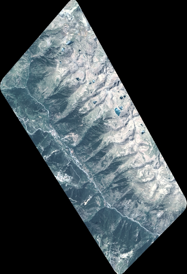
Quicklook
Copyright