TYPE:
SENSOR
LAYER:
DS_PHR1B_202206291040328_FR1_PX_E006N44_1207_01773
FORMAT:
DIMAP
RASTER:
image/tiff
General Information
Map Name
Geometric Processing Level
Radiometric Processing Level
BASIC
Image dimensions
Number of columns
27022
Number of rows
39102
Number of spectral bands
1
Dataset framing
Vertice
Longitude (DEG)
Latitude (DEG)
Row
Col
#1
6.873355683201825
44.34433789534546
#2
7.04983048951213
44.34062137336335
#3
7.048416299929359
44.16212207977574
#4
6.8732811470151
44.16562793868031
Dataset sources
PHR
Coordinate Reference System
Projected Coordinate System
Geocoding tables identification
EPSG(6.3)
Production
Production Date
2022-06-29T23:35:22.145
Job identification
6409020101-1
Dataset Producer Identification
AIRBUS DS GEO
Producer link
http://www.geo-airbusds.com
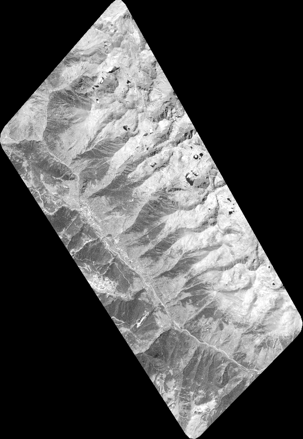
Quicklook
Copyright