TYPE:
SENSOR
LAYER:
DS_PHR1A_202206290953484_FR1_PX_E014N37_1218_02067
FORMAT:
DIMAP
RASTER:
image/tiff
General Information
Map Name
Geometric Processing Level
Radiometric Processing Level
BASIC
Image dimensions
Number of columns
39811
Number of rows
45993
Number of spectral bands
4
Dataset framing
Vertice
Longitude (DEG)
Latitude (DEG)
Row
Col
#1
14.87312321247569
37.85270578454815
1
#2
15.10012937782135
37.85186785834082
#3
15.09969128290025
37.64644861406128
#4
14.87334303970776
37.64703024666635
Dataset sources
PHR
Coordinate Reference System
Projected Coordinate System
Geocoding tables identification
EPSG(6.3)
Production
Production Date
2022-06-29T22:51:41.002
Job identification
6409019101
Dataset Producer Identification
AIRBUS DS GEO
Producer link
http://www.geo-airbusds.com
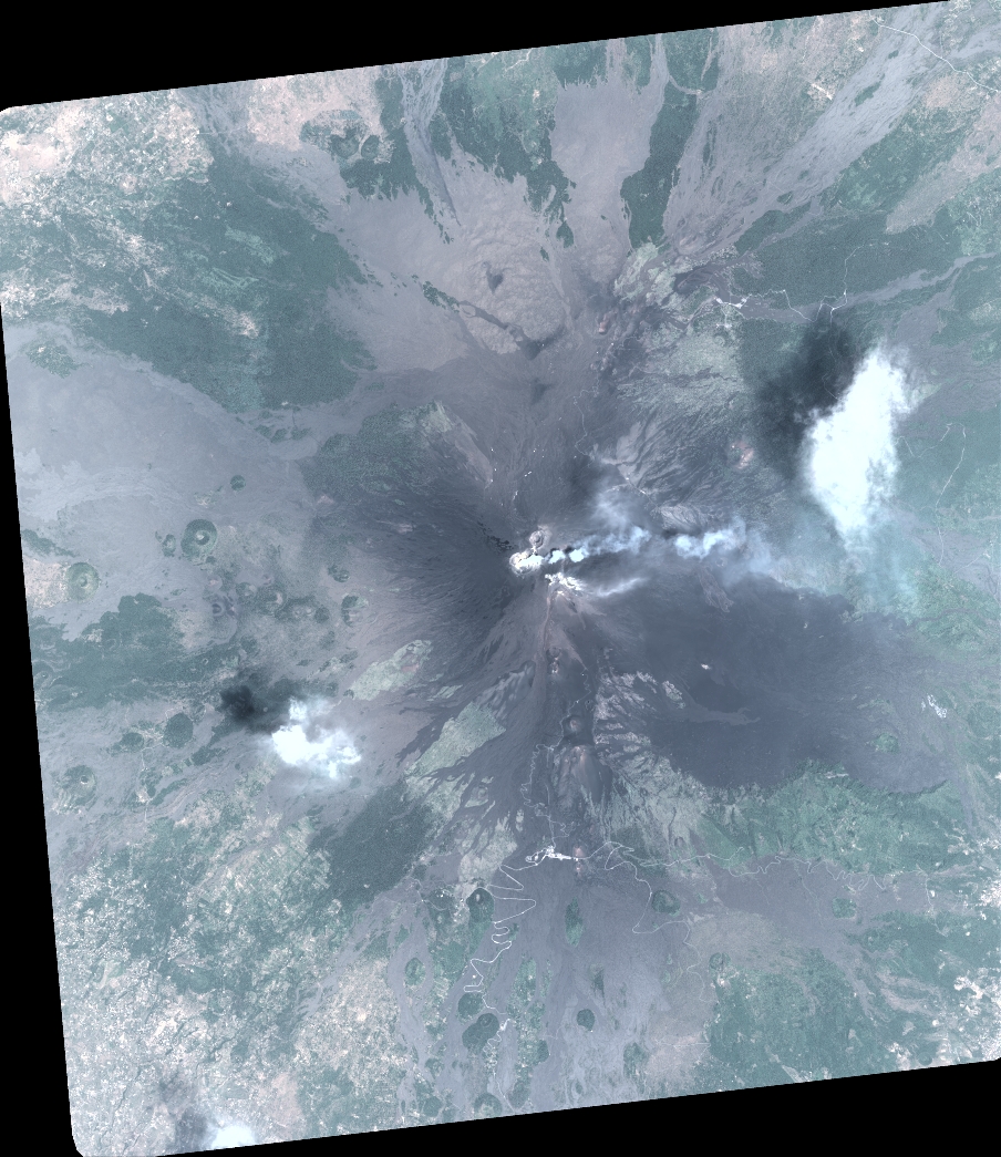
Quicklook
Copyright