TYPE:
SYSTEM_SENSOR
LAYER:
DS_PHR1A_202206281049130_FR1_PX_E001N43_0414_01013
FORMAT:
DIMAP
RASTER:
image/jp2
General Information
Map Name
Geometric Processing Level
Radiometric Processing Level
BASIC
Image dimensions
Number of columns
35554
Number of rows
22352
Number of spectral bands
1
Dataset framing
Vertice
Longitude (DEG)
Latitude (DEG)
Row
Col
#1
1.217458074210362
43.61427020436179
#2
1.448154595008925
43.61126185322603
#3
1.448012042935482
43.50920624070637
#4
1.217836993223296
43.51173118207729
Dataset sources
PHR
Coordinate Reference System
Projected Coordinate System
Geocoding tables identification
EPSG(6.3)
Production
Production Date
2022-06-28T13:25:40.282
Job identification
6408040101-1
Dataset Producer Identification
AIRBUS DS GEO
Producer link
http://www.geo-airbusds.com
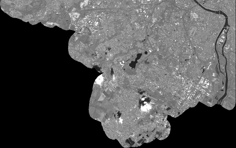
Quicklook
Copyright