TYPE:
SYSTEM_SENSOR
LAYER:
DS_PHR1A_202206281049323_FR1_PX_E001N43_0414_00971
FORMAT:
DIMAP
RASTER:
image/jp2
General Information
Map Name
Geometric Processing Level
Radiometric Processing Level
BASIC
Image dimensions
Number of columns
35047
Number of rows
21408
Number of spectral bands
1
Dataset framing
Vertice
Longitude (DEG)
Latitude (DEG)
Row
Col
#1
1.217447453127948
43.61821920486452
#2
1.448161719370096
43.61027978604573
#3
1.447955415801646
43.50657352033232
#4
1.217845121294603
43.51425976110609
Dataset sources
PHR
Coordinate Reference System
Projected Coordinate System
Geocoding tables identification
EPSG(6.3)
Production
Production Date
2022-06-28T13:24:42.931
Job identification
6408039101-1
Dataset Producer Identification
AIRBUS DS GEO
Producer link
http://www.geo-airbusds.com
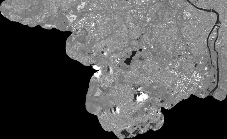
Quicklook
Copyright