TYPE:
SYSTEM_SENSOR
LAYER:
DS_PHR1A_202206281049323_FR1_PX_E001N43_0414_00971
FORMAT:
DIMAP
RASTER:
image/jp2
General Information
Map Name
Geometric Processing Level
Radiometric Processing Level
BASIC
Image dimensions
Number of columns
8763
Number of rows
5352
Number of spectral bands
4
Dataset framing
Vertice
Longitude (DEG)
Latitude (DEG)
Row
Col
#1
1.21745821414572
43.61821329471768
1
#2
1.448185512971926
43.61027336642272
#3
1.447978049441066
43.50658095415895
#4
1.217854583020483
43.51426783548132
Dataset sources
PHR
Coordinate Reference System
Projected Coordinate System
Geocoding tables identification
EPSG(6.3)
Production
Production Date
2022-06-28T13:24:28.037
Job identification
6408039101-2
Dataset Producer Identification
AIRBUS DS GEO
Producer link
http://www.geo-airbusds.com
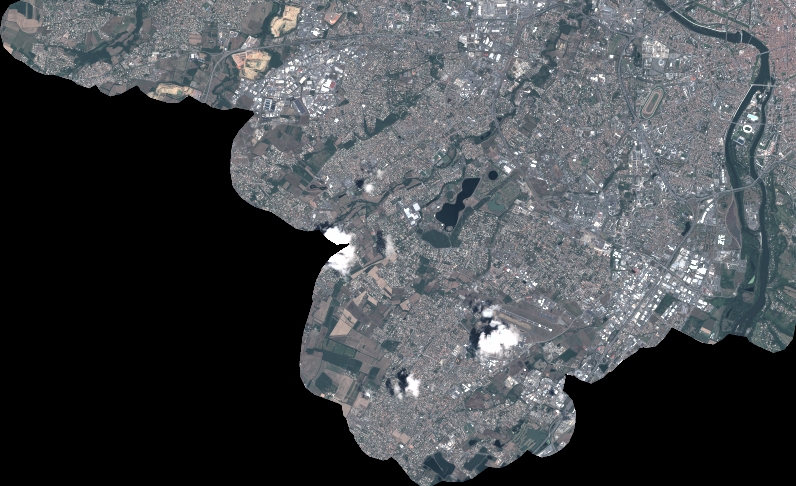
Quicklook
Copyright