TYPE:
SYSTEM_SENSOR
LAYER:
DS_PHR1A_202206281048539_FR1_PX_E001N43_0414_01000
FORMAT:
DIMAP
RASTER:
image/jp2
General Information
Map Name
Geometric Processing Level
Radiometric Processing Level
BASIC
Image dimensions
Number of columns
34287
Number of rows
22064
Number of spectral bands
1
Dataset framing
Vertice
Longitude (DEG)
Latitude (DEG)
Row
Col
#1
1.220397897643766
43.61054183825748
#2
1.448160911804683
43.61510227171397
#3
1.447990837131651
43.5128238906758
#4
1.220741110641261
43.50752783779296
Dataset sources
PHR
Coordinate Reference System
Projected Coordinate System
Geocoding tables identification
EPSG(6.3)
Production
Production Date
2022-06-28T13:25:24.264
Job identification
6408038101-1
Dataset Producer Identification
AIRBUS DS GEO
Producer link
http://www.geo-airbusds.com
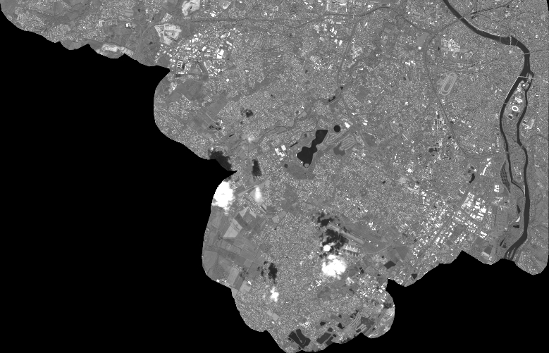
Quicklook
Copyright