TYPE:
SYSTEM_SENSOR
LAYER:
DS_PHR1A_202206281048539_FR1_PX_E001N43_0414_01000
FORMAT:
DIMAP
RASTER:
image/jp2
General Information
Map Name
Geometric Processing Level
Radiometric Processing Level
BASIC
Image dimensions
Number of columns
8573
Number of rows
5516
Number of spectral bands
4
Dataset framing
Vertice
Longitude (DEG)
Latitude (DEG)
Row
Col
#1
1.220408687345932
43.61053536788118
1
#2
1.448184769293781
43.6150965456145
#3
1.448015038047074
43.51283163349016
#4
1.22075221343369
43.50753489779096
Dataset sources
PHR
Coordinate Reference System
Projected Coordinate System
Geocoding tables identification
EPSG(6.3)
Production
Production Date
2022-06-28T13:25:05.975
Job identification
6408038101-2
Dataset Producer Identification
AIRBUS DS GEO
Producer link
http://www.geo-airbusds.com
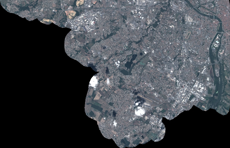
Quicklook
Copyright