TYPE:
SYSTEM_SENSOR
LAYER:
DS_PHR1A_202206281049222_FR1_PX_E001N43_0716_02227
FORMAT:
DIMAP
RASTER:
image/jp2
General Information
Map Name
Geometric Processing Level
Radiometric Processing Level
BASIC
Image dimensions
Number of columns
35186
Number of rows
49537
Number of spectral bands
1
Dataset framing
Vertice
Longitude (DEG)
Latitude (DEG)
Row
Col
#1
1.409897398152534
43.76021818717457
#2
1.638475435735736
43.75432900148017
#3
1.63788873209078
43.52281049989142
#4
1.410812891215476
43.52782679633857
Dataset sources
PHR
Coordinate Reference System
Projected Coordinate System
Geocoding tables identification
EPSG(6.3)
Production
Production Date
2022-06-28T13:00:54.533
Job identification
6408035101-1
Dataset Producer Identification
AIRBUS DS GEO
Producer link
http://www.geo-airbusds.com
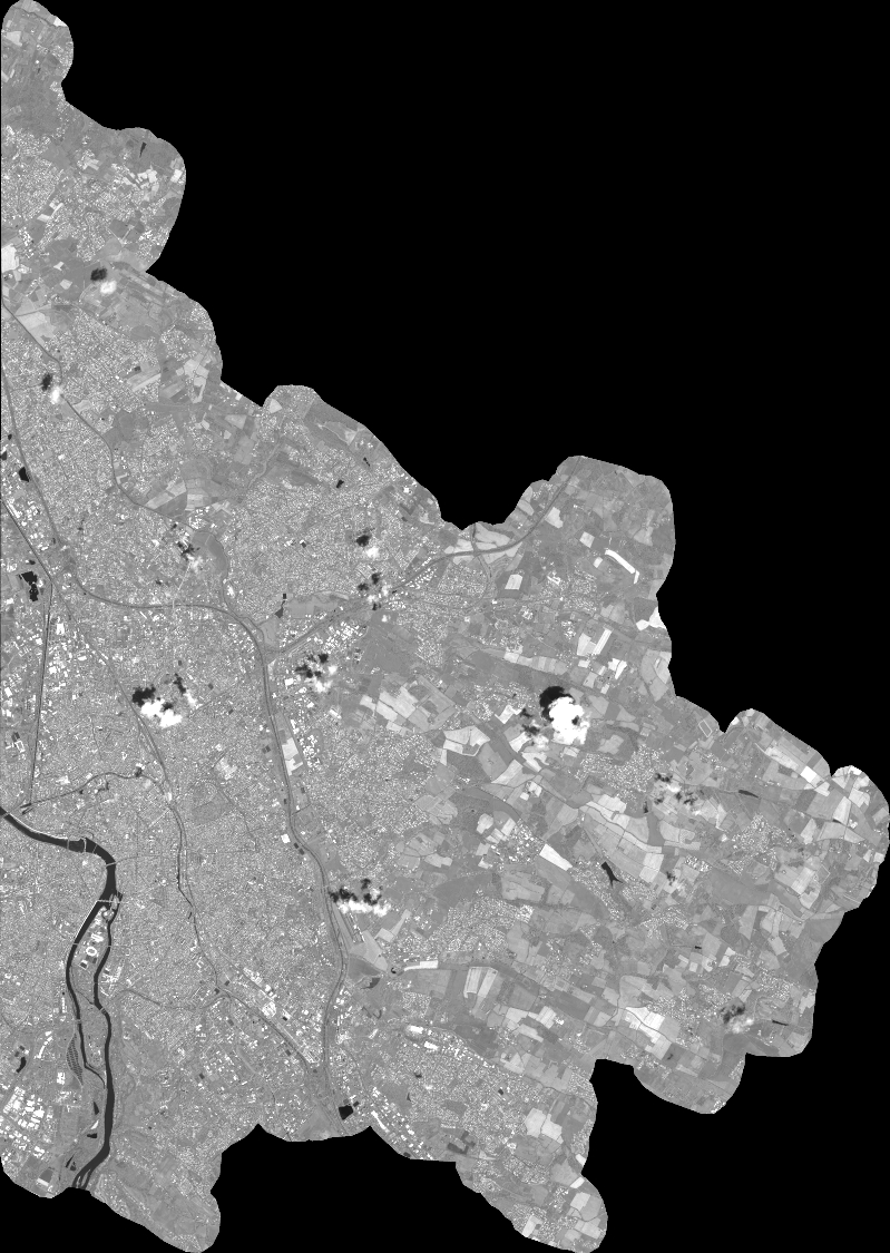
Quicklook
Copyright