TYPE:
SYSTEM_SENSOR
LAYER:
DS_PHR1A_202206281049222_FR1_PX_E001N43_0716_02227
FORMAT:
DIMAP
RASTER:
image/jp2
General Information
Map Name
Geometric Processing Level
Radiometric Processing Level
BASIC
Image dimensions
Number of columns
8798
Number of rows
12384
Number of spectral bands
4
Dataset framing
Vertice
Longitude (DEG)
Latitude (DEG)
Row
Col
#1
1.409894337025895
43.76020648112829
1
#2
1.63849173572556
43.75431713924823
#3
1.63790468138713
43.52281704196326
#4
1.410809572068319
43.52783339962783
Dataset sources
PHR
Coordinate Reference System
Projected Coordinate System
Geocoding tables identification
EPSG(6.3)
Production
Production Date
2022-06-28T13:00:06.921
Job identification
6408035101-2
Dataset Producer Identification
AIRBUS DS GEO
Producer link
http://www.geo-airbusds.com
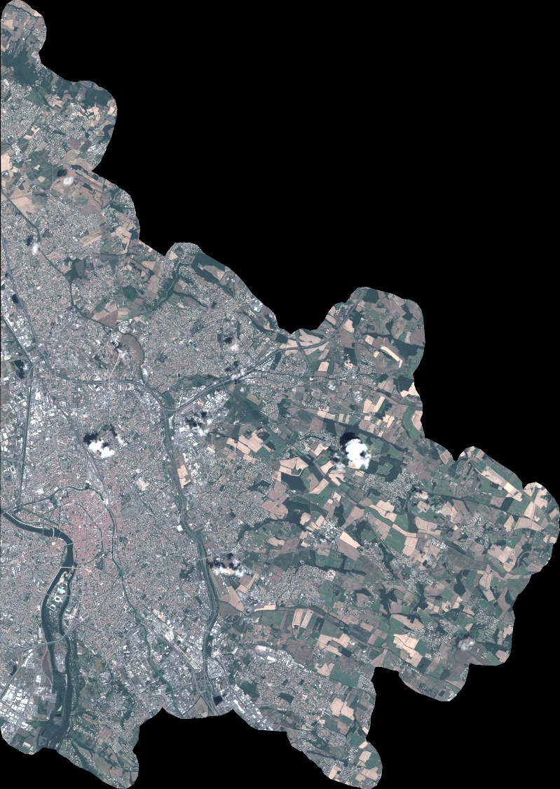
Quicklook
Copyright