TYPE:
SYSTEM_SENSOR
LAYER:
DS_PHR1A_202206281048438_FR1_PX_E001N43_0716_02255
FORMAT:
DIMAP
RASTER:
image/jp2
General Information
Map Name
Geometric Processing Level
Radiometric Processing Level
BASIC
Image dimensions
Number of columns
33933
Number of rows
50275
Number of spectral bands
1
Dataset framing
Vertice
Longitude (DEG)
Latitude (DEG)
Row
Col
#1
1.409939127057716
43.75857783293799
#2
1.638585659784537
43.76597867093442
#3
1.638080528029212
43.52751040120203
#4
1.410964043119994
43.51850837787121
Dataset sources
PHR
Coordinate Reference System
Projected Coordinate System
Geocoding tables identification
EPSG(6.3)
Production
Production Date
2022-06-28T13:01:40.809
Job identification
6408034101-1
Dataset Producer Identification
AIRBUS DS GEO
Producer link
http://www.geo-airbusds.com
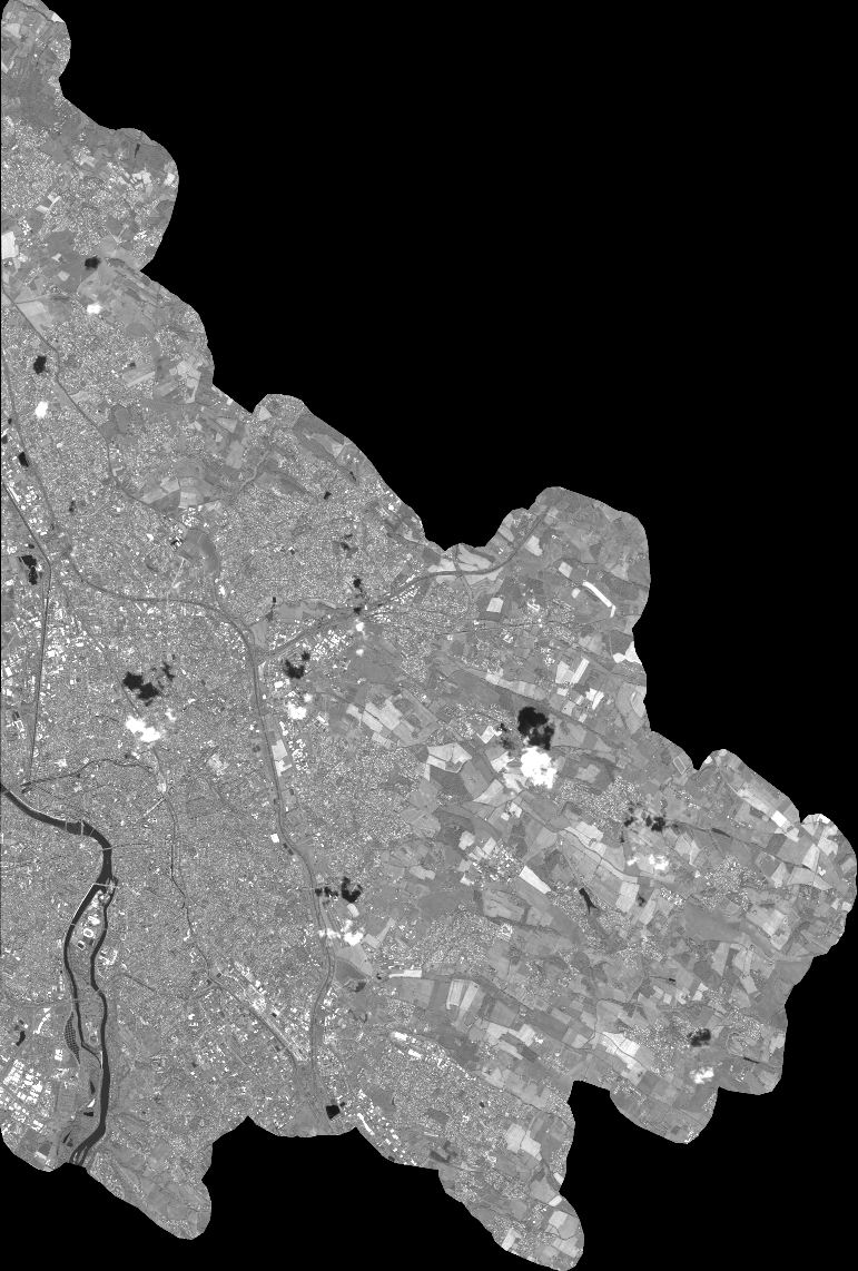
Quicklook
Copyright