TYPE:
SENSOR
LAYER:
DS_PHR1B_202206271056026_FR1_PX_E003N43_1217_01344
FORMAT:
DIMAP
RASTER:
image/jp2
General Information
Map Name
Geometric Processing Level
Radiometric Processing Level
BASIC
Image dimensions
Number of columns
23415
Number of rows
29692
Number of spectral bands
1
Dataset framing
Vertice
Longitude (DEG)
Latitude (DEG)
Row
Col
#1
3.920011851217265
43.62469355239411
#2
4.079390361646314
43.62263301893564
#3
4.078921342627505
43.48346070622559
#4
3.919467062489935
43.48624454704191
Dataset sources
PHR
Coordinate Reference System
Projected Coordinate System
Geocoding tables identification
EPSG(6.3)
Production
Production Date
2022-06-28T03:32:48.945
Job identification
6407333101-1
Dataset Producer Identification
AIRBUS DS GEO
Producer link
http://www.geo-airbusds.com
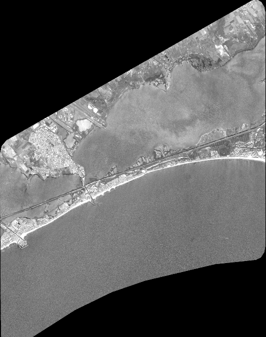
Quicklook
Copyright