TYPE:
ORTHO
LAYER:
DS_PHR1A_202205141042426_FR1_PX_E004N50_0816_00787
FORMAT:
DIMAP
RASTER:
image/tiff
General Information
Map Name
Geometric Processing Level
Radiometric Processing Level
BASIC
Image dimensions
Number of columns
7379
Number of rows
4633
Number of spectral bands
4
Dataset framing
Vertice
Longitude (DEG)
Latitude (DEG)
Row
Col
#1
4.536041470008465
50.70148450905946
1
#2
4.74490179591477
50.6985447589488
#3
4.741818269335554
50.61527191550836
#4
4.533326656900185
50.61820301960889
Dataset sources
PHR
Coordinate Reference System
Projected Coordinate System
Geocoding tables identification
EPSG(6.3)
Projected Coordinate System name
32631
Projected Coordinate System code
urn:ogc:def:crs:EPSG::32631
Geoposition
Upper - Left Map X Coordinate
608471
Upper - Left Map Y Coordinate
5617755
Image sampling
2 x 2
Production
Production Date
2022-05-14T20:15:57.051
Job identification
6347901101-2
Dataset Producer Identification
AIRBUS DS GEO
Producer link
http://www.geo-airbusds.com
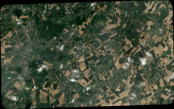
Quicklook
Copyright