TYPE:
SENSOR
LAYER:
DS_PHR1B_202205131050550_FR1_PX_E002N49_0502_01914
FORMAT:
DIMAP
RASTER:
image/jp2
General Information
Map Name
Geometric Processing Level
Radiometric Processing Level
BASIC
Image dimensions
Number of columns
38103
Number of rows
42524
Number of spectral bands
1
Dataset framing
Vertice
Longitude (DEG)
Latitude (DEG)
Row
Col
#1
2.227372235064339
49.15781561249093
#2
2.503262663076954
49.15890772880245
#3
2.502345807975495
48.96490703053831
#4
2.228430294847367
48.96258505171531
Dataset sources
PHR
Coordinate Reference System
Projected Coordinate System
Geocoding tables identification
EPSG(6.3)
Production
Production Date
2022-05-14T01:00:45.094
Job identification
6346843101-1
Dataset Producer Identification
AIRBUS DS GEO
Producer link
http://www.geo-airbusds.com
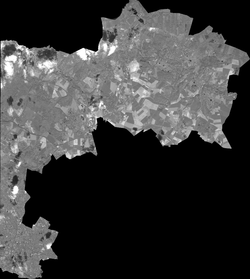
Quicklook
Copyright