TYPE:
SENSOR
LAYER:
DS_PHR1B_202205131050550_FR1_PX_E002N49_0502_01914
FORMAT:
DIMAP
RASTER:
image/jp2
General Information
Map Name
Geometric Processing Level
Radiometric Processing Level
BASIC
Image dimensions
Number of columns
9527
Number of rows
10631
Number of spectral bands
4
Dataset framing
Vertice
Longitude (DEG)
Latitude (DEG)
Row
Col
#1
2.227382990449374
49.15780923960367
1
#2
2.503287315316314
49.15890103145821
#3
2.502370658394981
48.96491351964331
#4
2.228441097252692
48.96259187026461
Dataset sources
PHR
Coordinate Reference System
Projected Coordinate System
Geocoding tables identification
EPSG(6.3)
Production
Production Date
2022-05-14T01:00:19.767
Job identification
6346843101-2
Dataset Producer Identification
AIRBUS DS GEO
Producer link
http://www.geo-airbusds.com
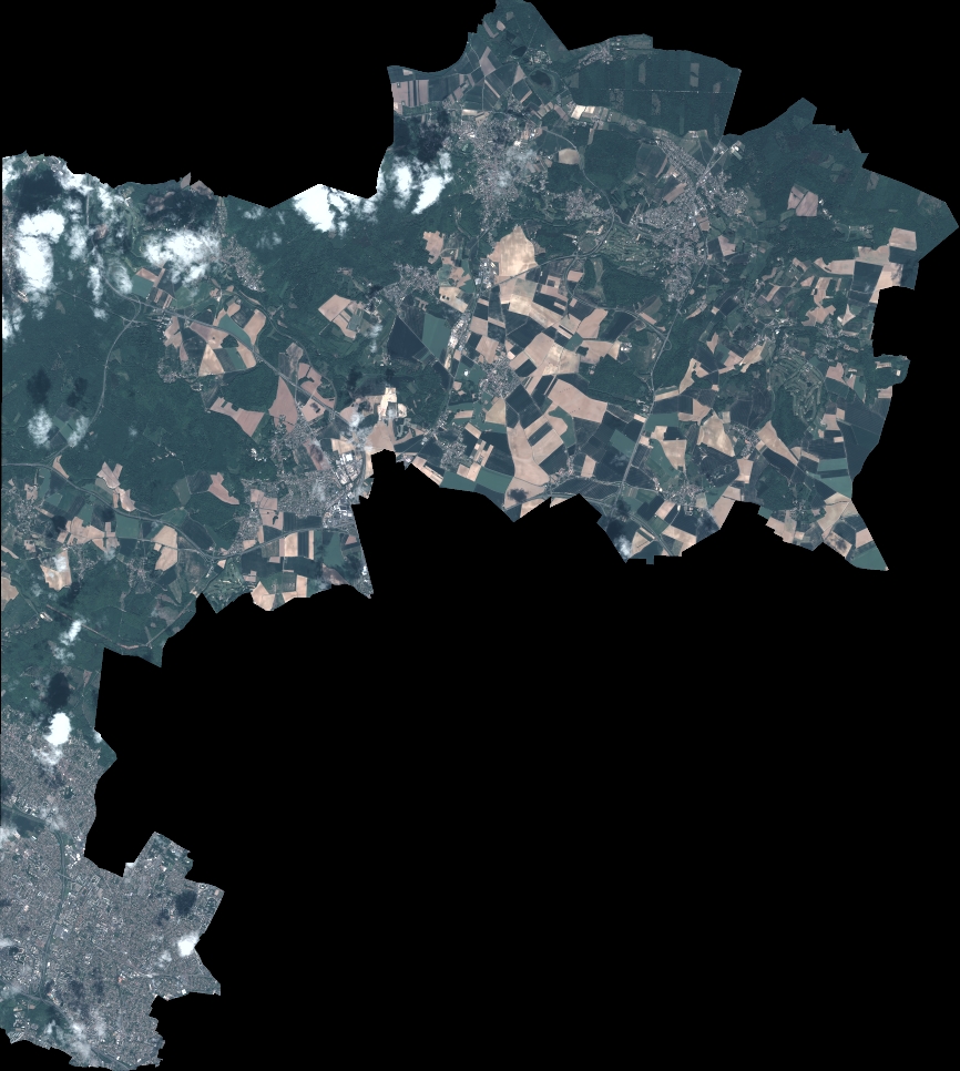
Quicklook
Copyright