TYPE:
SENSOR
LAYER:
DS_PHR1B_202205130558025_FR1_PX_E072N37_1011_01851
FORMAT:
DIMAP
RASTER:
image/jp2
General Information
Map Name
Geometric Processing Level
Radiometric Processing Level
BASIC
Image dimensions
Number of columns
39507
Number of rows
40965
Number of spectral bands
1
Dataset framing
Vertice
Longitude (DEG)
Latitude (DEG)
Row
Col
#1
72.68257786618511
37.5401735911972
#2
72.91375914371409
37.53557269774412
#3
72.91376291959148
37.34903347716794
#4
72.68427209457128
37.35243817230792
Dataset sources
PHR
Coordinate Reference System
Projected Coordinate System
Geocoding tables identification
EPSG(6.3)
Production
Production Date
2022-05-13T20:39:37.346
Job identification
6346637101-1
Dataset Producer Identification
AIRBUS DS GEO
Producer link
http://www.geo-airbusds.com
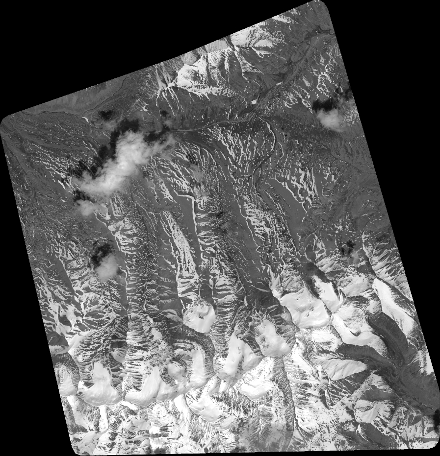
Quicklook
Copyright