TYPE:
SENSOR
LAYER:
DS_PHR1B_202205130558025_FR1_PX_E072N37_1011_01851
FORMAT:
DIMAP
RASTER:
image/jp2
General Information
Map Name
Geometric Processing Level
Radiometric Processing Level
BASIC
Image dimensions
Number of columns
9877
Number of rows
10242
Number of spectral bands
4
Dataset framing
Vertice
Longitude (DEG)
Latitude (DEG)
Row
Col
#1
72.68259741033509
37.54016108831301
1
#2
72.91376672969709
37.53556043868493
#3
72.91377170576706
37.34902174616262
#4
72.68429255326127
37.35242630501681
Dataset sources
PHR
Coordinate Reference System
Projected Coordinate System
Geocoding tables identification
EPSG(6.3)
Production
Production Date
2022-05-13T20:39:12.074
Job identification
6346637101-2
Dataset Producer Identification
AIRBUS DS GEO
Producer link
http://www.geo-airbusds.com
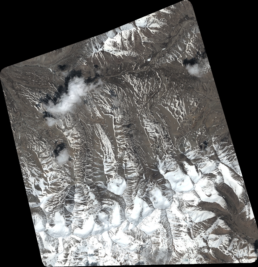
Quicklook
Copyright