TYPE:
SENSOR
LAYER:
DS_PHR1B_202205130557358_FR1_PX_E072N37_1011_01808
FORMAT:
DIMAP
RASTER:
image/jp2
General Information
Map Name
Geometric Processing Level
Radiometric Processing Level
BASIC
Image dimensions
Number of columns
9545
Number of rows
9998
Number of spectral bands
4
Dataset framing
Vertice
Longitude (DEG)
Latitude (DEG)
Row
Col
#1
72.68214049155608
37.53074040964481
1
#2
72.91370696213903
37.53752609961007
#3
72.9138674362989
37.35181807924504
#4
72.6842226266721
37.34396999286481
Dataset sources
PHR
Coordinate Reference System
Projected Coordinate System
Geocoding tables identification
EPSG(6.3)
Production
Production Date
2022-05-13T20:42:55.306
Job identification
6346636101-2
Dataset Producer Identification
AIRBUS DS GEO
Producer link
http://www.geo-airbusds.com
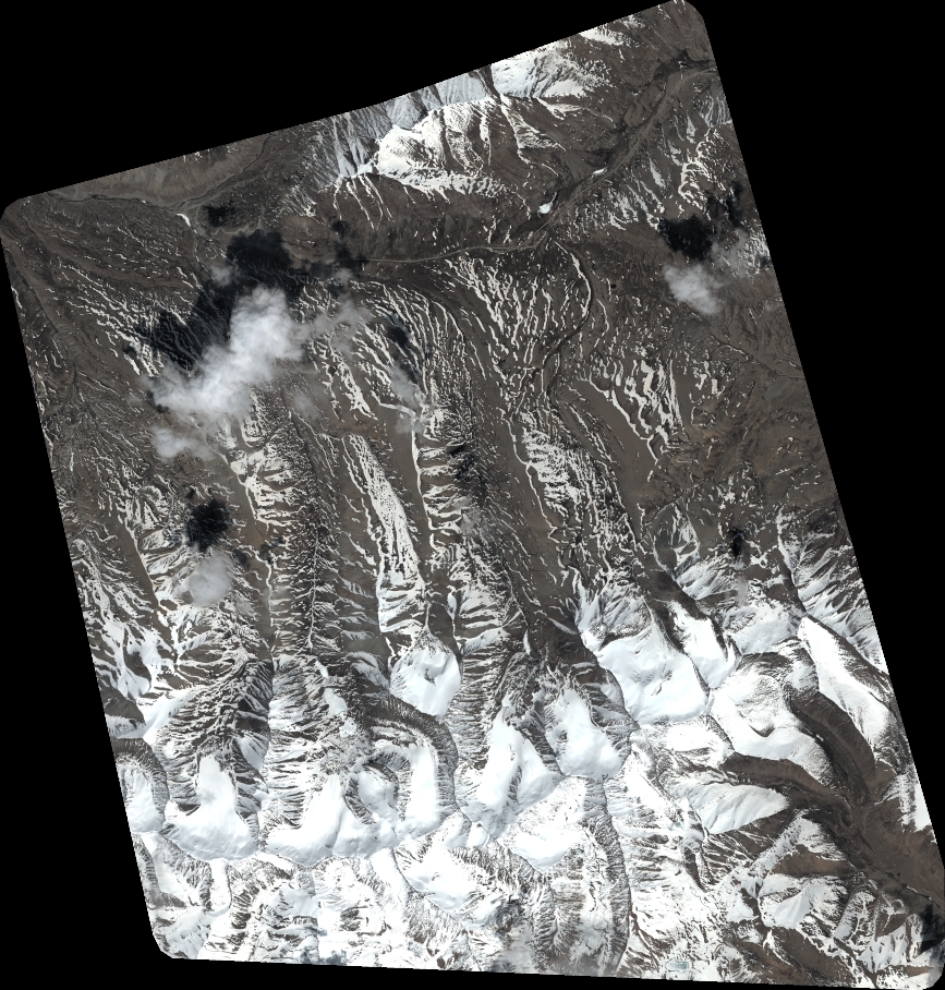
Quicklook
Copyright