TYPE:
SENSOR
LAYER:
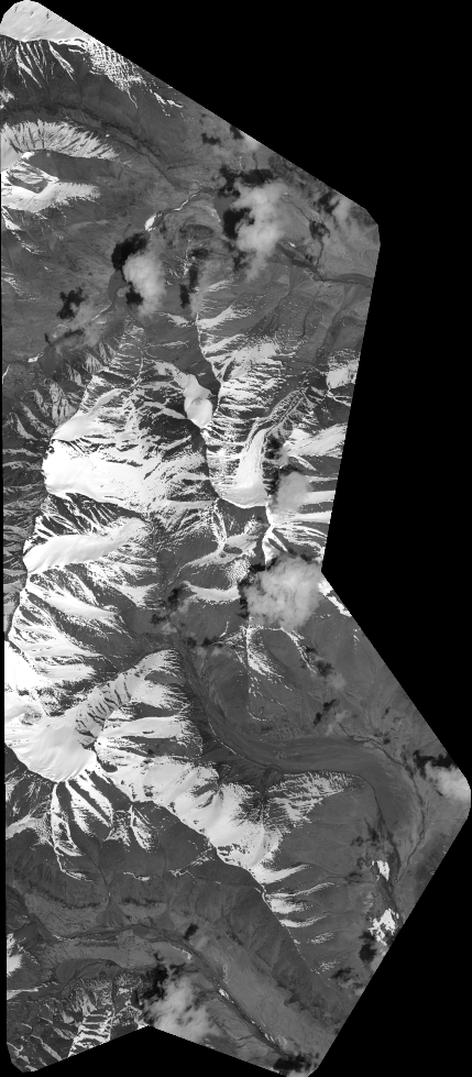
DS_PHR1B_202205130557510_FR1_PX_E073N38_0222_01949
FORMAT:
DIMAP
RASTER:
image/jp2
General Information
Map Name
Geometric Processing Level
Radiometric Processing Level
BASIC
Image dimensions
Number of columns
18877
Number of rows
43113
Number of spectral bands
1
Dataset framing
Vertice
Longitude (DEG)
Latitude (DEG)
Row
Col
#1
73.04285466929915
38.97836999209952
#2
73.15750969488982
38.9740021617932
#3
73.15540998487121
38.77202696404512
#4
73.04213151367944
38.77497990880283
Dataset sources
PHR
Coordinate Reference System
Projected Coordinate System
Geocoding tables identification
EPSG(6.3)
Production
Production Date
2022-05-13T20:37:53.608
Job identification
6346635101-1
Dataset Producer Identification
AIRBUS DS GEO
Producer link
http://www.geo-airbusds.com
Quicklook
Copyright