TYPE:
SENSOR
LAYER:
DS_PHR1B_202205130557510_FR1_PX_E073N38_0222_01949
FORMAT:
DIMAP
RASTER:
image/jp2
General Information
Map Name
Geometric Processing Level
Radiometric Processing Level
BASIC
Image dimensions
Number of columns
4720
Number of rows
10778
Number of spectral bands
4
Dataset framing
Vertice
Longitude (DEG)
Latitude (DEG)
Row
Col
#1
73.04285769954552
38.97835808119009
1
#2
73.15751160264384
38.97399125667538
#3
73.15541262708986
38.77203401221961
#4
73.04213385724533
38.77498740571641
Dataset sources
PHR
Coordinate Reference System
Projected Coordinate System
Geocoding tables identification
EPSG(6.3)
Production
Production Date
2022-05-13T20:37:35.682
Job identification
6346635101-2
Dataset Producer Identification
AIRBUS DS GEO
Producer link
http://www.geo-airbusds.com
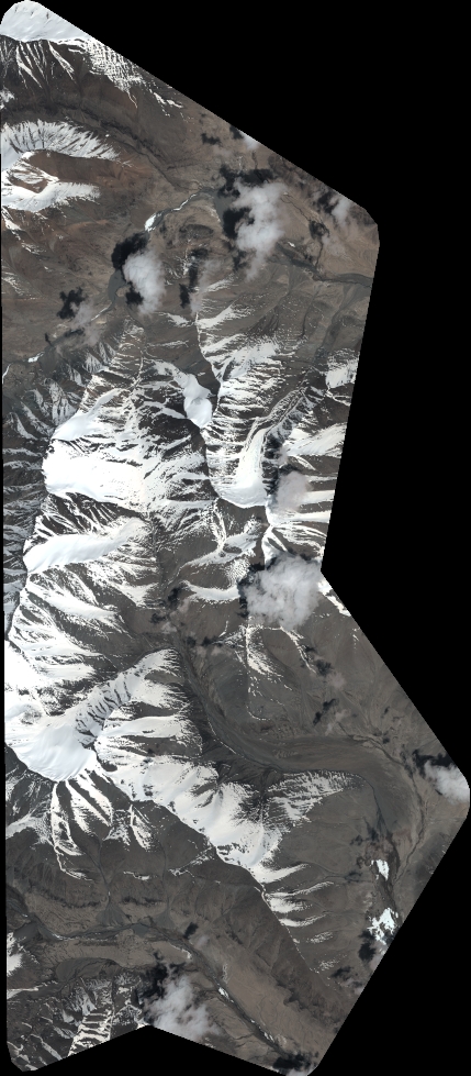
Quicklook
Copyright