TYPE:
SENSOR
LAYER:
DS_PHR1A_202205120605303_FR1_PX_E072N37_0516_01722
FORMAT:
DIMAP
RASTER:
image/jp2
General Information
Map Name
Geometric Processing Level
Radiometric Processing Level
BASIC
Image dimensions
Number of columns
2791
Number of rows
9465
Number of spectral bands
4
Dataset framing
Vertice
Longitude (DEG)
Latitude (DEG)
Row
Col
#1
72.3253882618861
37.73086145519924
1
#2
72.38913658785916
37.7316534628829
#3
72.38888627917537
37.55815825663323
#4
72.32534369372138
37.55768770249454
Dataset sources
PHR
Coordinate Reference System
Projected Coordinate System
Geocoding tables identification
EPSG(6.3)
Production
Production Date
2022-05-12T21:32:03.040
Job identification
6345267101-2
Dataset Producer Identification
AIRBUS DS GEO
Producer link
http://www.geo-airbusds.com
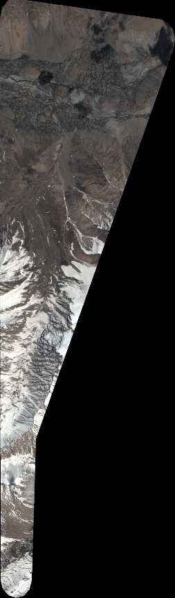
Quicklook
Copyright