TYPE:
SENSOR
LAYER:
DS_PHR1B_202109180534090_FR1_PX_E079N30_0419_01522
FORMAT:
DIMAP
RASTER:
image/tiff
General Information
Map Name
Geometric Processing Level
Radiometric Processing Level
BASIC
Image dimensions
Number of columns
39610
Number of rows
32967
Number of spectral bands
1
Dataset framing
Vertice
Longitude (DEG)
Latitude (DEG)
Row
Col
#1
79.21471530102784
30.85119971204982
#2
79.4236662684297
30.85458211276014
#3
79.42413025603796
30.70488025615725
#4
79.21538458765549
30.70255807502323
Dataset sources
PHR
Coordinate Reference System
Projected Coordinate System
Geocoding tables identification
EPSG(6.3)
Production
Production Date
2021-09-18T20:20:02.093
Job identification
5936639101-1
Dataset Producer Identification
AIRBUS DS GEO
Producer link
http://www.geo-airbusds.com
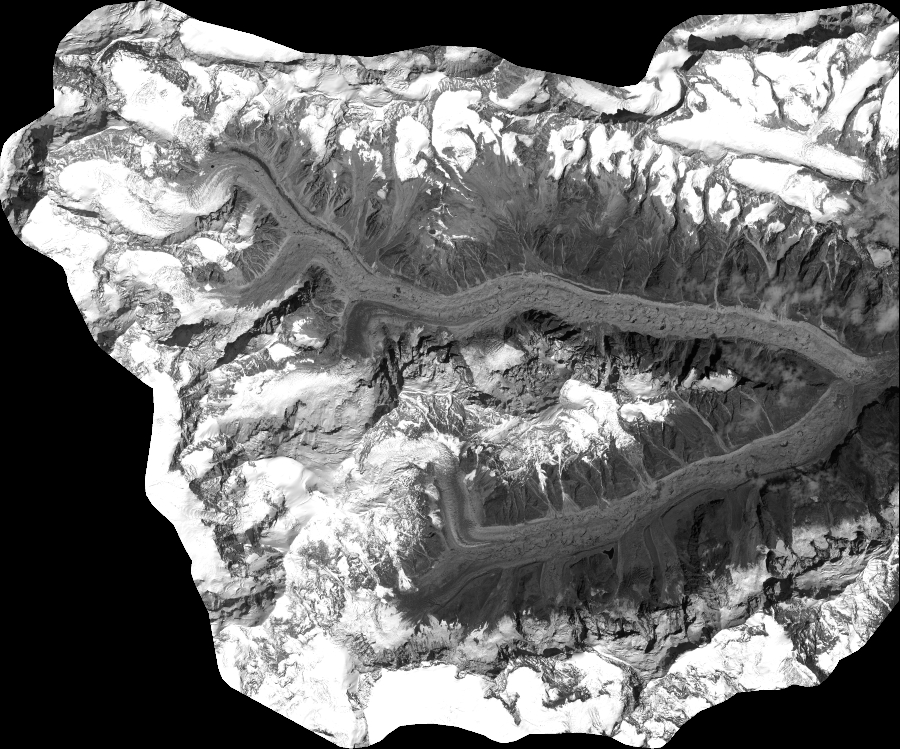
Quicklook
Copyright