TYPE:
SENSOR
LAYER:
DS_PHR1B_202109180533325_FR1_PX_E079N30_0419_01498
FORMAT:
DIMAP
RASTER:
image/tiff
General Information
Map Name
Geometric Processing Level
Radiometric Processing Level
BASIC
Image dimensions
Number of columns
39650
Number of rows
32817
Number of spectral bands
1
Dataset framing
Vertice
Longitude (DEG)
Latitude (DEG)
Row
Col
#1
79.21509676536174
30.8537888796103
#2
79.42383965999608
30.85368491642415
#3
79.42358941272535
30.70127088873917
#4
79.2147572690491
30.70071405734916
Dataset sources
PHR
Coordinate Reference System
Projected Coordinate System
Geocoding tables identification
EPSG(6.3)
Production
Production Date
2021-09-18T20:28:01.639
Job identification
5936638101-1
Dataset Producer Identification
AIRBUS DS GEO
Producer link
http://www.geo-airbusds.com
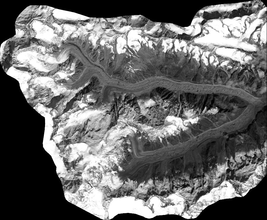
Quicklook
Copyright