TYPE:
SENSOR
LAYER:
DS_PHR1B_202109180533325_FR1_PX_E079N30_0419_01498
FORMAT:
DIMAP
RASTER:
image/tiff
General Information
Map Name
Geometric Processing Level
Radiometric Processing Level
BASIC
Image dimensions
Number of columns
9914
Number of rows
8205
Number of spectral bands
4
Dataset framing
Vertice
Longitude (DEG)
Latitude (DEG)
Row
Col
#1
79.21509451745939
30.85378547482105
1
#2
79.42385318200567
30.85368203576243
#3
79.42360282465191
30.7012708660437
#4
79.21475489563998
30.70071222241773
Dataset sources
PHR
Coordinate Reference System
Projected Coordinate System
Geocoding tables identification
EPSG(6.3)
Production
Production Date
2021-09-18T21:22:12.560
Job identification
5936638101-2
Dataset Producer Identification
AIRBUS DS GEO
Producer link
http://www.geo-airbusds.com
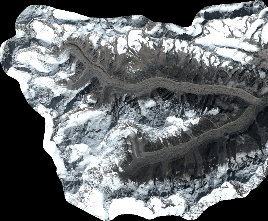
Quicklook
Copyright