TYPE:
SENSOR
LAYER:
DS_PHR1A_202109180444218_FR1_PX_E090N30_0910_01889
FORMAT:
DIMAP
RASTER:
image/tiff
General Information
Map Name
Geometric Processing Level
Radiometric Processing Level
BASIC
Image dimensions
Number of columns
23972
Number of rows
42072
Number of spectral bands
1
Dataset framing
Vertice
Longitude (DEG)
Latitude (DEG)
Row
Col
#1
90.6593369602783
30.50042307543574
#2
90.78491142498231
30.50044378042492
#3
90.78334800863587
30.31358280599046
#4
90.65949082774411
30.31336651647472
Dataset sources
PHR
Coordinate Reference System
Projected Coordinate System
Geocoding tables identification
EPSG(6.3)
Production
Production Date
2021-09-18T20:18:29.805
Job identification
5936615101-1
Dataset Producer Identification
AIRBUS DS GEO
Producer link
http://www.geo-airbusds.com
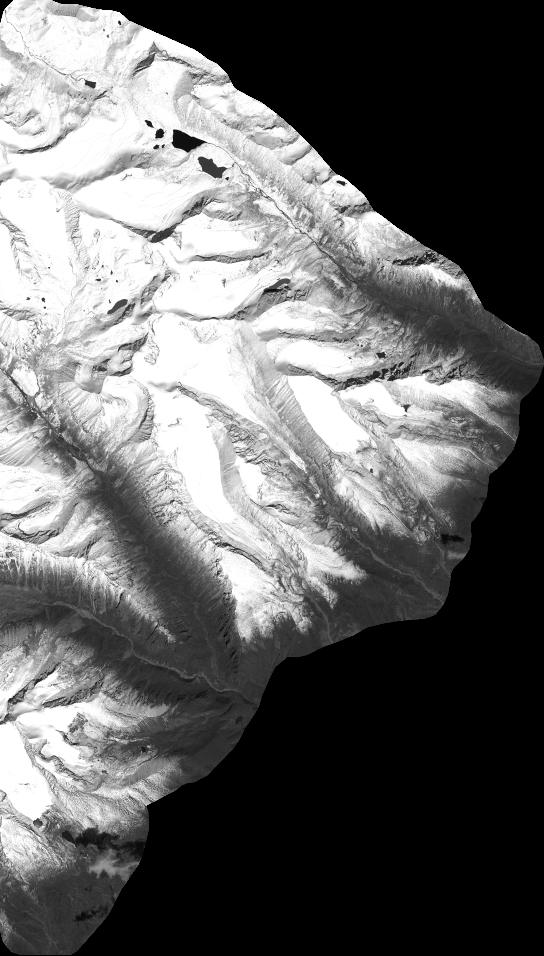
Quicklook
Copyright