TYPE:
SENSOR
LAYER:
DS_PHR1A_202109180444218_FR1_PX_E090N30_0910_01889
FORMAT:
DIMAP
RASTER:
image/tiff
General Information
Map Name
Geometric Processing Level
Radiometric Processing Level
BASIC
Image dimensions
Number of columns
5994
Number of rows
10518
Number of spectral bands
4
Dataset framing
Vertice
Longitude (DEG)
Latitude (DEG)
Row
Col
#1
90.65934991065554
30.50041601183277
1
#2
90.78492809637582
30.50043774713204
#3
90.78336564453546
30.31359140056674
#4
90.65950438881035
30.31337404947974
Dataset sources
PHR
Coordinate Reference System
Projected Coordinate System
Geocoding tables identification
EPSG(6.3)
Production
Production Date
2021-09-18T19:31:16.993
Job identification
5936615101-2
Dataset Producer Identification
AIRBUS DS GEO
Producer link
http://www.geo-airbusds.com
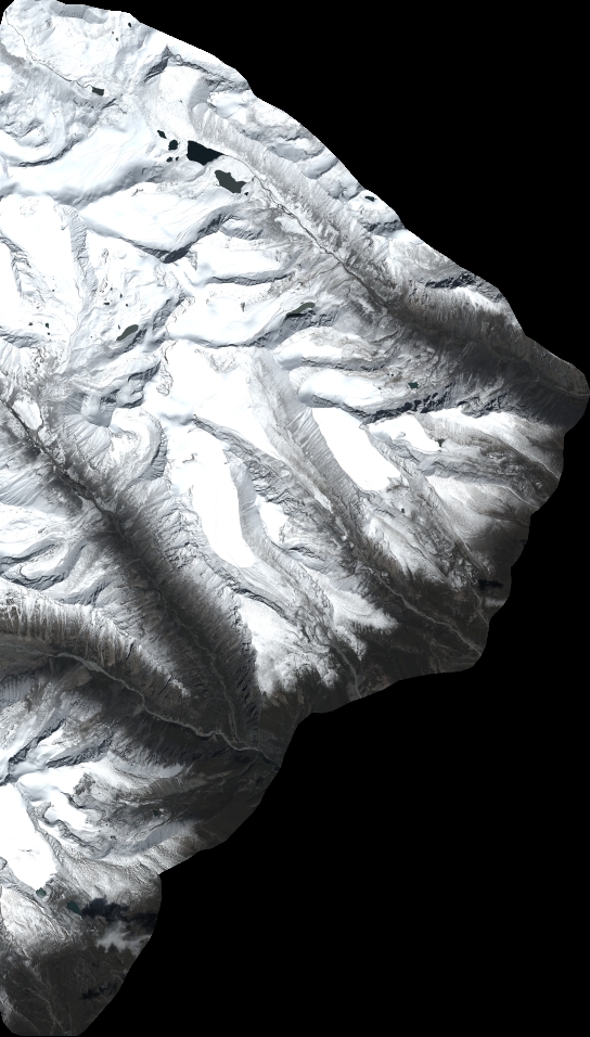
Quicklook
Copyright