TYPE:
SENSOR
LAYER:
DS_PHR1A_202109180444440_FR1_PX_E090N30_0910_01834
FORMAT:
DIMAP
RASTER:
image/tiff
General Information
Map Name
Geometric Processing Level
Radiometric Processing Level
BASIC
Image dimensions
Number of columns
23617
Number of rows
40688
Number of spectral bands
1
Dataset framing
Vertice
Longitude (DEG)
Latitude (DEG)
Row
Col
#1
90.65939206937973
30.50129608391992
#2
90.78444893102115
30.49880907090981
#3
90.78357969829985
30.3130621729605
#4
90.65954641913552
30.31289040136415
Dataset sources
PHR
Coordinate Reference System
Projected Coordinate System
Geocoding tables identification
EPSG(6.3)
Production
Production Date
2021-09-18T19:10:11.163
Job identification
5936614101-1
Dataset Producer Identification
AIRBUS DS GEO
Producer link
http://www.geo-airbusds.com
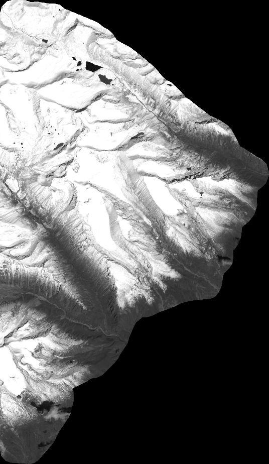
Quicklook
Copyright