TYPE:
SENSOR
LAYER:
DS_PHR1A_202109180444440_FR1_PX_E090N30_0910_01834
FORMAT:
DIMAP
RASTER:
image/tiff
General Information
Map Name
Geometric Processing Level
Radiometric Processing Level
BASIC
Image dimensions
Number of columns
5905
Number of rows
10172
Number of spectral bands
4
Dataset framing
Vertice
Longitude (DEG)
Latitude (DEG)
Row
Col
#1
90.6593946305491
30.50128970492637
1
#2
90.78445138695766
30.49880257353214
#3
90.78358246803329
30.31306843152868
#4
90.65954933374101
30.31289662709437
Dataset sources
PHR
Coordinate Reference System
Projected Coordinate System
Geocoding tables identification
EPSG(6.3)
Production
Production Date
2021-09-18T19:09:25.652
Job identification
5936614101-2
Dataset Producer Identification
AIRBUS DS GEO
Producer link
http://www.geo-airbusds.com
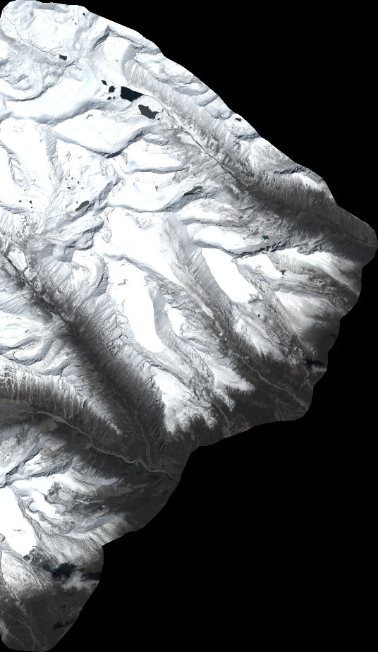
Quicklook
Copyright