TYPE:
SENSOR
LAYER:
DS_PHR1A_202109180444119_FR1_PX_E090N30_0910_01871
FORMAT:
DIMAP
RASTER:
image/tiff
General Information
Map Name
Geometric Processing Level
Radiometric Processing Level
BASIC
Image dimensions
Number of columns
5930
Number of rows
10371
Number of spectral bands
4
Dataset framing
Vertice
Longitude (DEG)
Latitude (DEG)
Row
Col
#1
90.65931039580246
30.50028869814236
1
#2
90.78514634229344
30.50224126772969
#3
90.78326867840771
30.31390385375236
#4
90.65946026515815
30.3128206165072
Dataset sources
PHR
Coordinate Reference System
Projected Coordinate System
Geocoding tables identification
EPSG(6.3)
Production
Production Date
2021-09-18T19:23:53.863
Job identification
5936613101-2
Dataset Producer Identification
AIRBUS DS GEO
Producer link
http://www.geo-airbusds.com
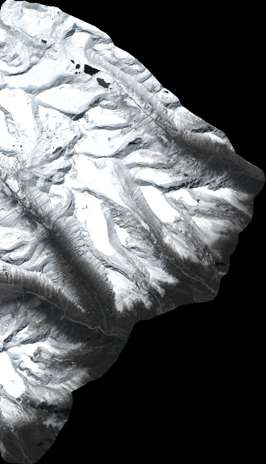
Quicklook
Copyright