TYPE:
SENSOR
LAYER:
DS_PHR1A_202109170037229_FR1_PX_E161N56_0214_01120
FORMAT:
DIMAP
RASTER:
image/tiff
General Information
Map Name
Geometric Processing Level
Radiometric Processing Level
BASIC
Image dimensions
Number of columns
3967
Number of rows
6191
Number of spectral bands
4
Dataset framing
Vertice
Longitude (DEG)
Latitude (DEG)
Row
Col
#1
161.03058030087
56.62556228443463
1
#2
161.1632830400031
56.6270594601934
#3
161.1628131742422
56.51132355231453
#4
161.0306874830282
56.5102980724333
Dataset sources
PHR
Coordinate Reference System
Projected Coordinate System
Geocoding tables identification
EPSG(6.3)
Production
Production Date
2021-09-18T06:47:30.199
Job identification
5932552201-2
Dataset Producer Identification
AIRBUS DS GEO
Producer link
http://www.geo-airbusds.com
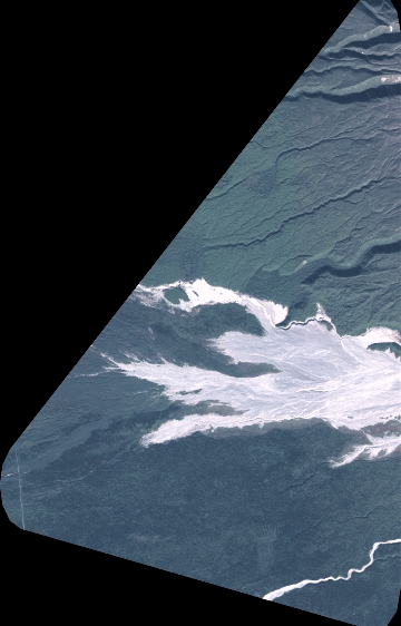
Quicklook
Copyright