TYPE:
SENSOR
LAYER:
DS_PHR1A_202109170037383_FR1_PX_E161N56_0415_01798
FORMAT:
DIMAP
RASTER:
image/tiff
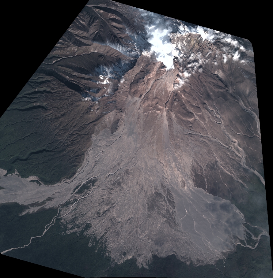
General Information
Map Name
Geometric Processing Level
Radiometric Processing Level
BASIC
Image dimensions
Number of columns
9804
Number of rows
10006
Number of spectral bands
4
Dataset framing
Vertice
Longitude (DEG)
Latitude (DEG)
Row
Col
#1
161.116660888508
56.67921173507781
1
#2
161.437751664297
56.67920315444433
#3
161.4375942799626
56.50017536306233
#4
161.1174892084154
56.50048965253267
Dataset sources
PHR
Coordinate Reference System
Projected Coordinate System
Geocoding tables identification
EPSG(6.3)
Production
Production Date
2021-09-18T07:02:53.252
Job identification
5932551201-2
Dataset Producer Identification
AIRBUS DS GEO
Producer link
http://www.geo-airbusds.com
Quicklook
Copyright