TYPE:
SENSOR
LAYER:
DS_PHR1A_202109170037599_FR1_PX_E161N56_0415_01783
FORMAT:
DIMAP
RASTER:
image/tiff
General Information
Map Name
Geometric Processing Level
Radiometric Processing Level
BASIC
Image dimensions
Number of columns
38737
Number of rows
39688
Number of spectral bands
1
Dataset framing
Vertice
Longitude (DEG)
Latitude (DEG)
Row
Col
#1
161.1134019194741
56.68036003167488
#2
161.4369954560694
56.68280444395701
#3
161.4375972400342
56.50020407107817
#4
161.1143466297014
56.49765476533342
Dataset sources
PHR
Coordinate Reference System
Projected Coordinate System
Geocoding tables identification
EPSG(6.3)
Production
Production Date
2021-09-18T06:57:32.387
Job identification
5932550201-1
Dataset Producer Identification
AIRBUS DS GEO
Producer link
http://www.geo-airbusds.com
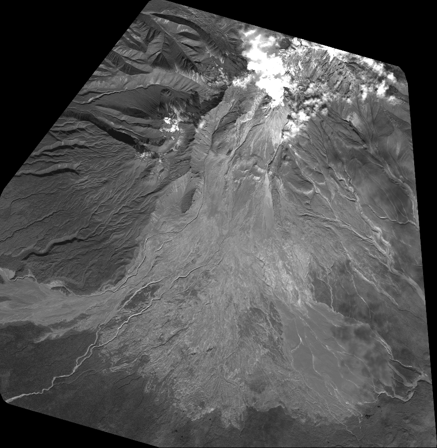
Quicklook
Copyright