TYPE:
SENSOR
LAYER:
DS_PHR1A_202109170037599_FR1_PX_E161N56_0415_01783
FORMAT:
DIMAP
RASTER:
image/tiff
General Information
Map Name
Geometric Processing Level
Radiometric Processing Level
BASIC
Image dimensions
Number of columns
9685
Number of rows
9922
Number of spectral bands
4
Dataset framing
Vertice
Longitude (DEG)
Latitude (DEG)
Row
Col
#1
161.113421797633
56.68035082474369
1
#2
161.4370171523637
56.68279619647956
#3
161.4376075995502
56.50020924777712
#4
161.1143570012749
56.49766077962607
Dataset sources
PHR
Coordinate Reference System
Projected Coordinate System
Geocoding tables identification
EPSG(6.3)
Production
Production Date
2021-09-18T06:55:59.584
Job identification
5932550201-2
Dataset Producer Identification
AIRBUS DS GEO
Producer link
http://www.geo-airbusds.com
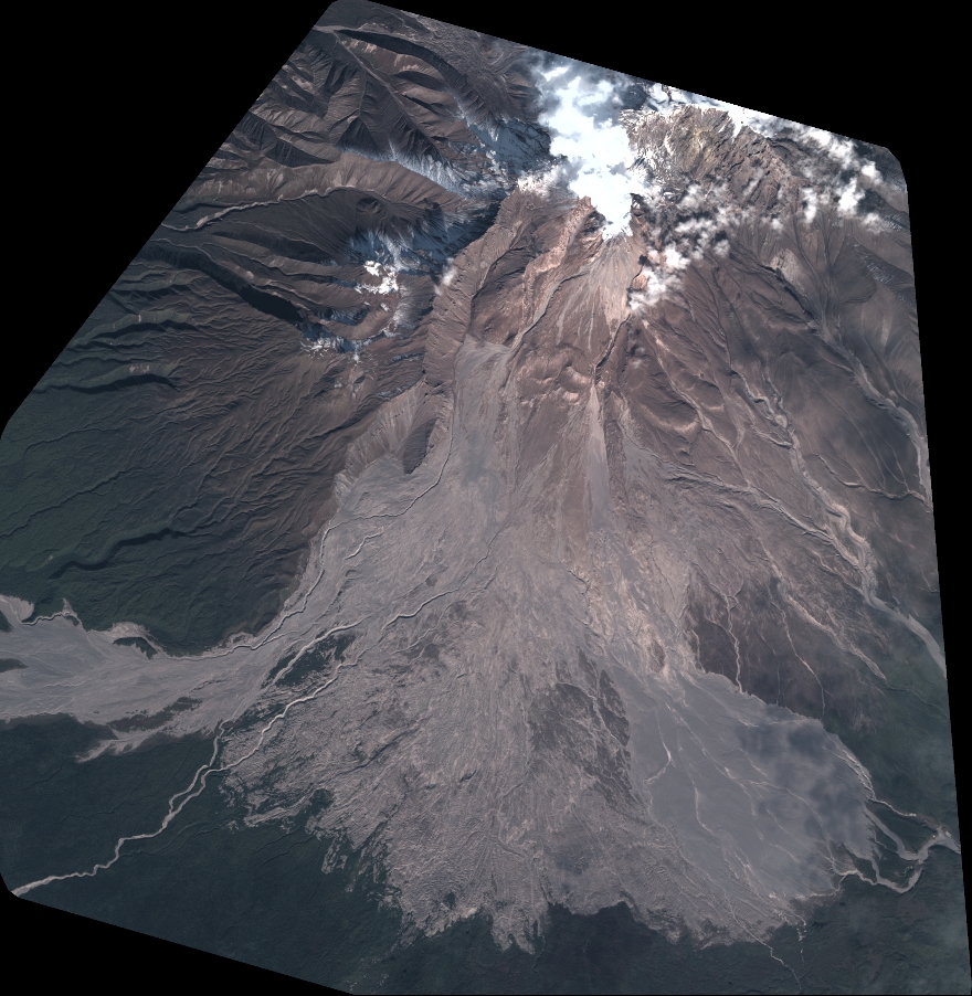
Quicklook
Copyright