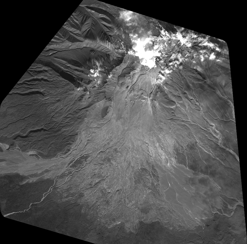
TYPE:
SENSOR
LAYER:
DS_PHR1A_202109170037129_FR1_PX_E161N56_0415_01689
FORMAT:
DIMAP
RASTER:
image/tiff
General Information
Map Name
Geometric Processing Level
Radiometric Processing Level
BASIC
Image dimensions
Number of columns
38096
Number of rows
37572
Number of spectral bands
1
Dataset framing
Vertice
Longitude (DEG)
Latitude (DEG)
Row
Col
#1
161.1129632305802
56.67827371231657
#2
161.4384956544849
56.68225205348427
#3
161.4375275031991
56.49874831940628
#4
161.113643877213
56.49531230637131
Dataset sources
PHR
Coordinate Reference System
Projected Coordinate System
Geocoding tables identification
EPSG(6.3)
Production
Production Date
2021-09-18T06:57:03.419
Job identification
5932549201-1
Dataset Producer Identification
AIRBUS DS GEO
Producer link
http://www.geo-airbusds.com
Quicklook
Copyright