TYPE:
SENSOR
LAYER:
DS_PHR1A_202109170039018_FR1_PX_E157N51_0720_01380
FORMAT:
DIMAP
RASTER:
image/tiff
General Information
Map Name
Geometric Processing Level
Radiometric Processing Level
BASIC
Image dimensions
Number of columns
29204
Number of rows
30616
Number of spectral bands
1
Dataset framing
Vertice
Longitude (DEG)
Latitude (DEG)
Row
Col
#1
157.4263203304937
51.86638401096733
#2
157.6410221951865
51.86646460820353
#3
157.6406632640654
51.72943605822978
#4
157.4266528198208
51.72904379320737
Dataset sources
PHR
Coordinate Reference System
Projected Coordinate System
Geocoding tables identification
EPSG(6.3)
Production
Production Date
2021-09-18T06:55:18.854
Job identification
5932548201-1
Dataset Producer Identification
AIRBUS DS GEO
Producer link
http://www.geo-airbusds.com
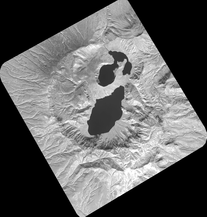
Quicklook
Copyright