TYPE:
SENSOR
LAYER:
DS_PHR1A_202109170039018_FR1_PX_E157N51_0720_01380
FORMAT:
DIMAP
RASTER:
image/tiff
General Information
Map Name
Geometric Processing Level
Radiometric Processing Level
BASIC
Image dimensions
Number of columns
7301
Number of rows
7654
Number of spectral bands
4
Dataset framing
Vertice
Longitude (DEG)
Latitude (DEG)
Row
Col
#1
157.4263468627809
51.86637912930793
1
#2
157.6410263875516
51.86645809937356
#3
157.6406647743167
51.72944199636738
#4
157.4266757081973
51.72905131194519
Dataset sources
PHR
Coordinate Reference System
Projected Coordinate System
Geocoding tables identification
EPSG(6.3)
Production
Production Date
2021-09-18T07:39:44.000
Job identification
5932548201-2
Dataset Producer Identification
AIRBUS DS GEO
Producer link
http://www.geo-airbusds.com
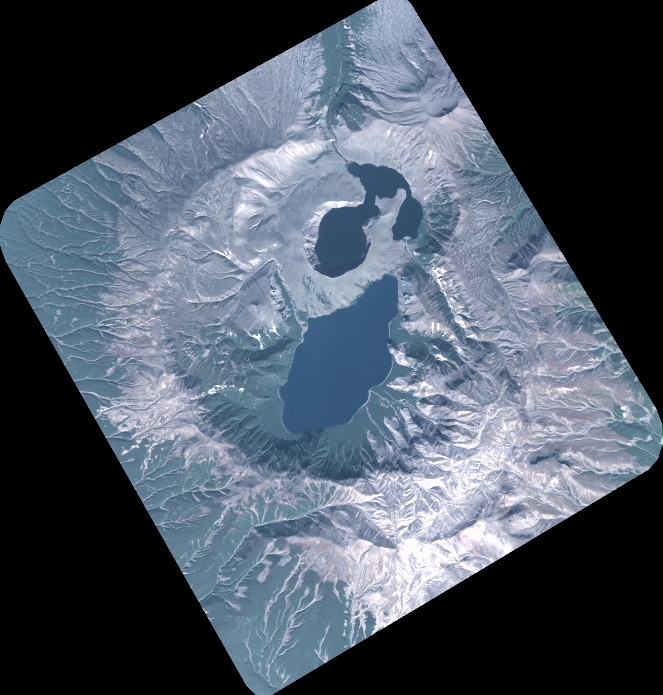
Quicklook
Copyright