TYPE:
SENSOR
LAYER:
DS_PHR1A_202109170039108_FR1_PX_E157N51_0720_01375
FORMAT:
DIMAP
RASTER:
image/tiff
General Information
Map Name
Geometric Processing Level
Radiometric Processing Level
BASIC
Image dimensions
Number of columns
7319
Number of rows
7626
Number of spectral bands
4
Dataset framing
Vertice
Longitude (DEG)
Latitude (DEG)
Row
Col
#1
157.4263715189852
51.86657724255614
1
#2
157.6411076294386
51.86572825116831
#3
157.6407105820195
51.72881157650397
#4
157.4266788754994
51.72952875589739
Dataset sources
PHR
Coordinate Reference System
Projected Coordinate System
Geocoding tables identification
EPSG(6.3)
Production
Production Date
2021-09-18T07:28:24.523
Job identification
5932547201-2
Dataset Producer Identification
AIRBUS DS GEO
Producer link
http://www.geo-airbusds.com
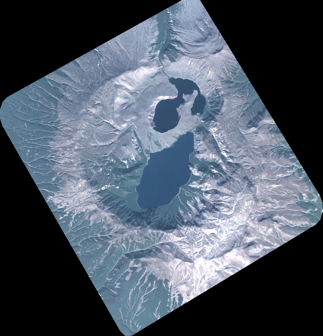
Quicklook
Copyright