TYPE:
SENSOR
LAYER:
DS_PHR1A_202109170039298_FR1_PX_E156N50_0117_00986
FORMAT:
DIMAP
RASTER:
image/tiff
General Information
Map Name
Geometric Processing Level
Radiometric Processing Level
BASIC
Image dimensions
Number of columns
28616
Number of rows
21704
Number of spectral bands
1
Dataset framing
Vertice
Longitude (DEG)
Latitude (DEG)
Row
Col
#1
155.9496028954518
50.72886478844887
#2
156.1605265558395
50.72689846860482
#3
156.1601575128796
50.62833193109162
#4
155.9517616463467
50.62953055646029
Dataset sources
PHR
Coordinate Reference System
Projected Coordinate System
Geocoding tables identification
EPSG(6.3)
Production
Production Date
2021-09-18T06:59:39.521
Job identification
5932545201-1
Dataset Producer Identification
AIRBUS DS GEO
Producer link
http://www.geo-airbusds.com
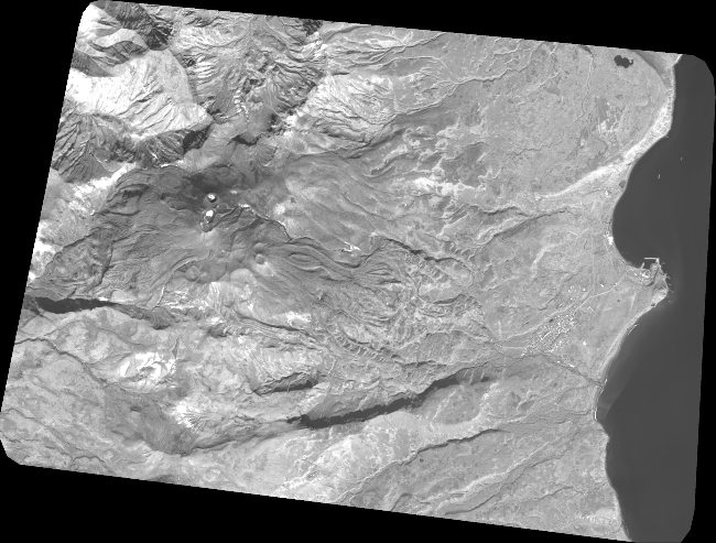
Quicklook
Copyright