TYPE:
SENSOR
LAYER:
DS_PHR1A_202109170039298_FR1_PX_E156N50_0117_00986
FORMAT:
DIMAP
RASTER:
image/tiff
General Information
Map Name
Geometric Processing Level
Radiometric Processing Level
BASIC
Image dimensions
Number of columns
7155
Number of rows
5426
Number of spectral bands
4
Dataset framing
Vertice
Longitude (DEG)
Latitude (DEG)
Row
Col
#1
155.9496057533616
50.72885802494491
1
#2
156.1605366469071
50.72689143580134
#3
156.1601677649501
50.62833847169867
#4
155.9517644347119
50.62953743835288
Dataset sources
PHR
Coordinate Reference System
Projected Coordinate System
Geocoding tables identification
EPSG(6.3)
Production
Production Date
2021-09-18T06:54:40.512
Job identification
5932545201-2
Dataset Producer Identification
AIRBUS DS GEO
Producer link
http://www.geo-airbusds.com
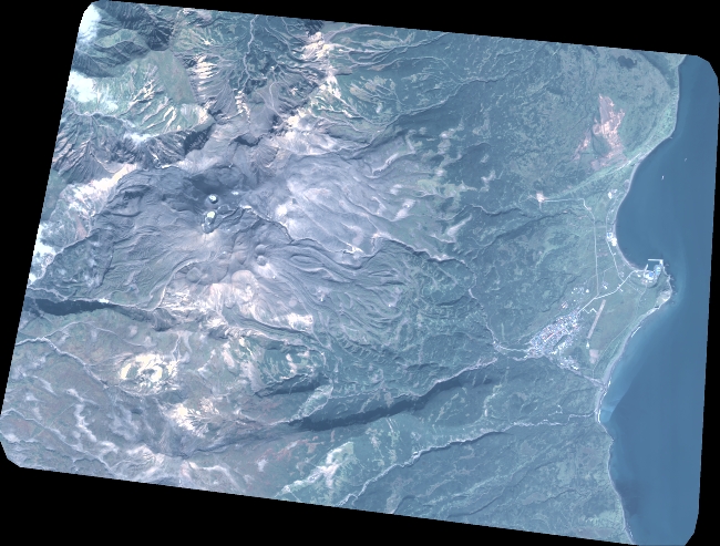
Quicklook
Copyright