TYPE:
SENSOR
LAYER:
DS_PHR1A_202109170039378_FR1_PX_E156N50_0117_00969
FORMAT:
DIMAP
RASTER:
image/tiff
General Information
Map Name
Geometric Processing Level
Radiometric Processing Level
BASIC
Image dimensions
Number of columns
7143
Number of rows
5304
Number of spectral bands
4
Dataset framing
Vertice
Longitude (DEG)
Latitude (DEG)
Row
Col
#1
155.9497483722994
50.7293983525024
1
#2
156.1605118183048
50.72574936026864
#3
156.1601777017733
50.62806688814602
#4
155.9517258182351
50.63052978492414
Dataset sources
PHR
Coordinate Reference System
Projected Coordinate System
Geocoding tables identification
EPSG(6.3)
Production
Production Date
2021-09-18T06:47:42.294
Job identification
5932544201-2
Dataset Producer Identification
AIRBUS DS GEO
Producer link
http://www.geo-airbusds.com
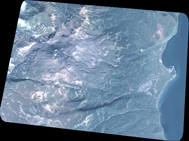
Quicklook
Copyright