TYPE:
SENSOR
LAYER:
DS_PHR1A_202109170039218_FR1_PX_E156N50_0117_00991
FORMAT:
DIMAP
RASTER:
image/tiff
General Information
Map Name
Geometric Processing Level
Radiometric Processing Level
BASIC
Image dimensions
Number of columns
28460
Number of rows
21860
Number of spectral bands
1
Dataset framing
Vertice
Longitude (DEG)
Latitude (DEG)
Row
Col
#1
155.9494185396592
50.72733142430099
#2
156.1604325931011
50.72747180057146
#3
156.1600738007291
50.62823690921841
#4
155.951774801145
50.62775362268714
Dataset sources
PHR
Coordinate Reference System
Projected Coordinate System
Geocoding tables identification
EPSG(6.3)
Production
Production Date
2021-09-18T06:47:05.485
Job identification
5932543201-1
Dataset Producer Identification
AIRBUS DS GEO
Producer link
http://www.geo-airbusds.com
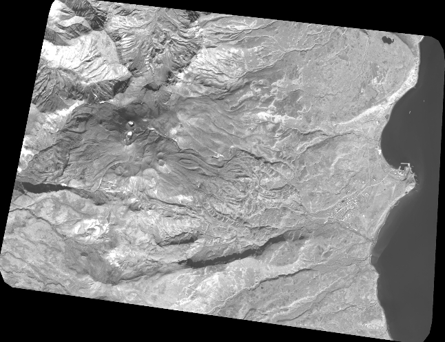
Quicklook
Copyright